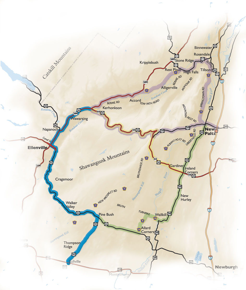
At the intersection of Routes 44/55 and Route 209 travel south through Wawarsing. The ride through Wawarsing is residential for the most part with glimpses of the Shawangunk Ridge off in the distance.
Enjoy a little time at Lippman Memorial Park or make the next right onto Lundy Road and follow the Vernooy Kill to the access for the Vernooy Kill State Forest. This 3,688 acre wooded parcel was formerly the Lundy Estate. Back on Route 209 pass by the quaint Wawarsing Post Office on the banks of the Vernooy Kill.
Enjoy expansive scenic mountain views as you travel along Route 209. Continue south through the sleepy town of Napanoch, pass by the Ellenville Airport and business and shopping area. Ellenville is the gateway into the Rondout Valley, where the Shawangunks meet the Catskills.
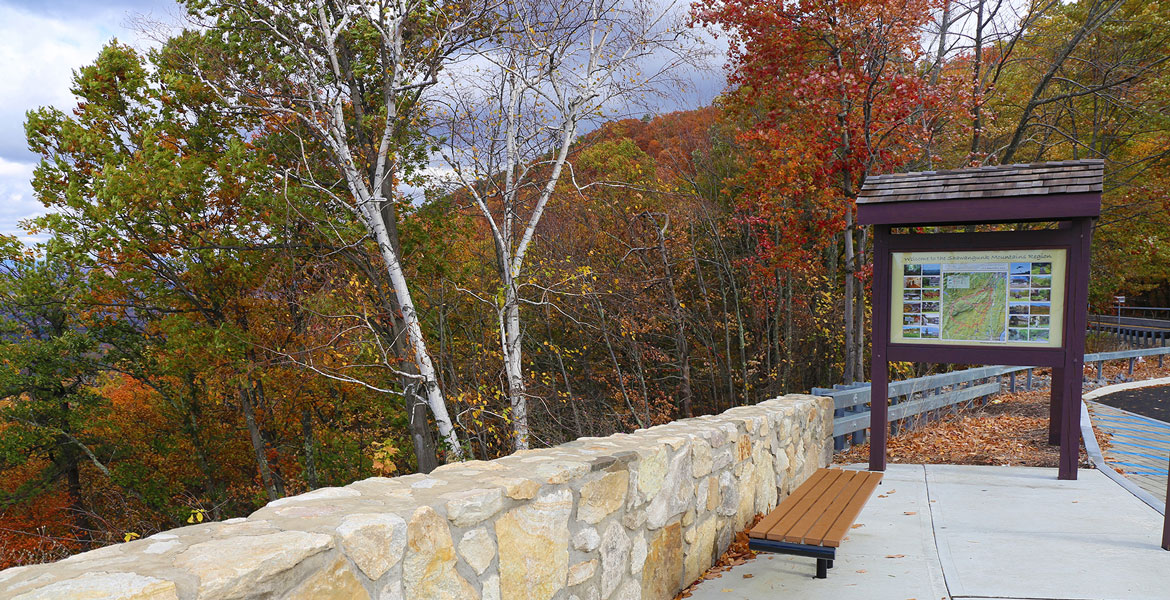
Turn left onto Canal Street and travel through the business district of Ellenville. Passing the historic Hunt Memorial Building, which is home to the Chamber of Commerce, Shadowland Theatre and many shops and restaurants. As you drive east on Canal Street, North Gully Falls marks the eastern boundary of the Village of Ellenville. Still in Ellenville, the road becomes Route 52 and the ascent up into the Mountains begins. Stop at the overlook for magnificent views of the Rondout Valley and the once lively Nevele Grande Resort & Country Club. Hang gliders are often spotted soaring from the cliffs above.
For access to Minnewaska State Park Preserve: Sam’s Point Area and the Cragsmoor historic district make a left onto Cragsmoor Road, south of the overlooks. The 4,600-acre Preserve includes High Point, Lake Maratanza, Verkeerderkill Falls and the Ice Caves.
Following Route 52 south the descent is into Walker Valley, the sprawling views of the Catskills from this point are breathtaking. Buildings dating back to the mid-1800’s, such as the Methodist Church define the quiet town of Walker Valley.
The Town of Shawangunk is marked by the Verkeerder Kill Park on the left, an 83-acre park with a pavillion. Terrific views of the Shawangunk Mountains appear behind a horsefarm along Sinsabaugh Road and continue along the ride to Pine Bush.
In less than a mile pass over the Shawangunk Kill and into the busy hamlet of Pine Bush, the community services center of the Town of Crawford. The rural character of the town is dipicted in the architecture and apparent as you drive through the Main Street district. In the hamlet the Farmer’s Market is open from June through October.
Bear right onto Route 302, passing through Thompson Ridge and leading into Bullville. The countryside is rich in scenic views, history and fertile, rolling farmland. There is one horse farm after another with the Mountains as the backdrop along this stretch. Dairy farming in this area dates back to the late 19th century, and many barns remain. Sweeping Shawangunk Mountains views north and west give way to a busy corner in Bullville.